WorldView was looking to research and explore product market fit. They operated a fleet of high-altitude balloons that could carry a variety of payloads, but specifically their visual data represented a unique selling proposition. High altitude balloons combine the quality of low-altitude surveillance techniques, with the near-24/7 coverage of more typical satellite imagery.
As marketing manager at a venture consultancy, I worked on researching applications and preparing a product requirements document that served to connect the technology to the potential markets.
I also oversaw a UX designer on our team and collaborated to create the initial mockups and mid-fidelity wireframes of the dashboard UI that could serve as the glue between data and customer.
The Process
I began with a survey of user interview across a wide array of industries from telecom to defense.
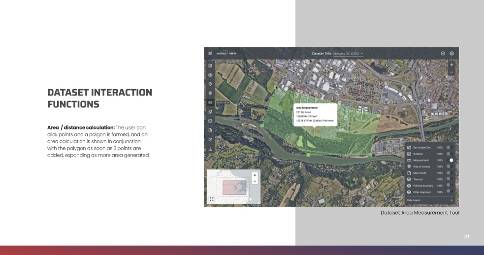
From this, we extracted representative user stories. Each of these were connected to potential features that we then mapped into design flows for the wireframes.
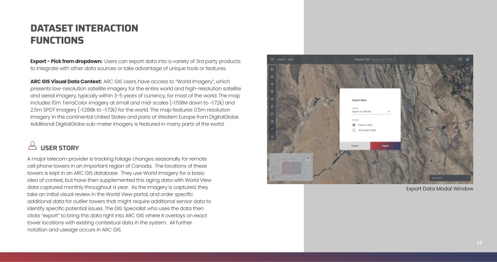
The PRD ultimately was organized by feature / flow, but I included user story snippets throughout to tie these features to how/why they would be used by potential customers.
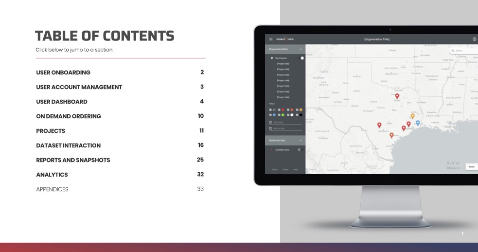
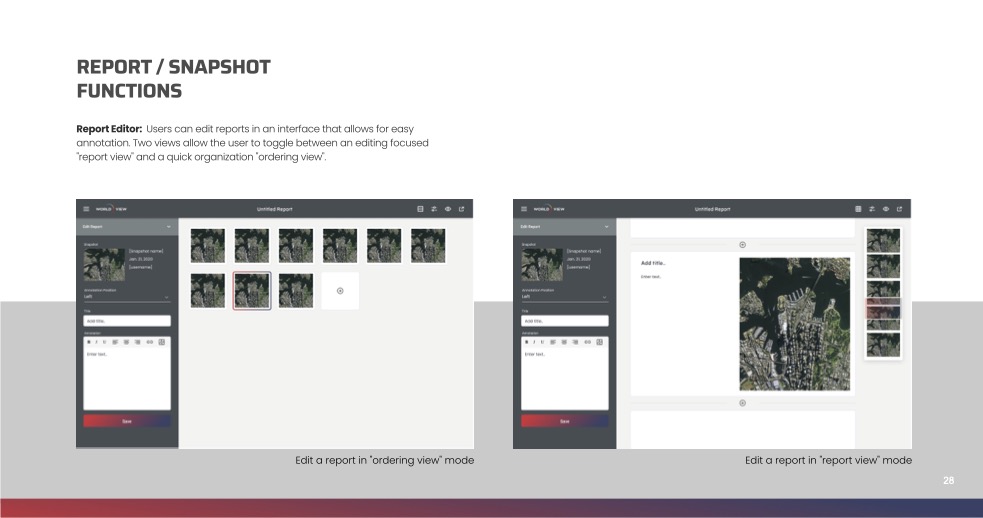
A sampling of slides from the final PRD is available below:
Outcomes and Learnings
The highly technical nature of this client necessitated a more waterfall-style approach than many other projects I've worked on. Applying this structured method to market/product discovery was a great learning experience to see how to move from initial generative exploration into more quantitative feature set analysis.
I've taken the basic workflow from this project and applied it to less technical projects as well with great results.
Working with geospatial data presents some unique challenges. I'd love to have the chance to revisit a project like this through the lens of AR/Spatial Computing and AI and explore more cutting edge ways to digest the immense amount of data available from high-altitude imaging.